You stay on the Fisherman's Trail by combining what you see on the ground with whatever backup you like - map, guide, or GPS. None of that replaces looking up from the screen; the coast can still fool you so always use your common sense. A coastal trail is forgiving as you just need to keep the coast on your left or right - hoooowever, I still think you should consider your options.
Signs and paint


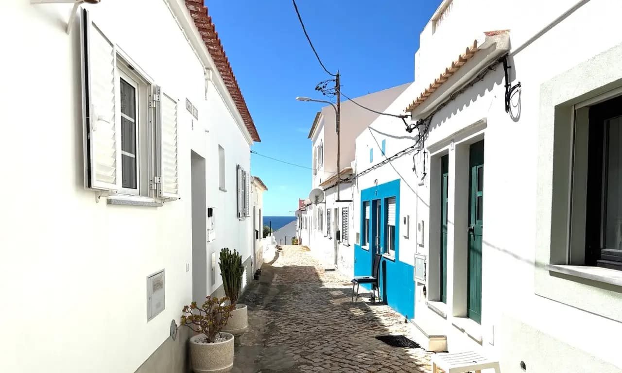
A great thing about the Fishermen's Trail is that the route is very well maintained by Rota Vicentina. You'll see official waymarking plus painted stripes on posts, rocks, and walls along the line - same family of markings as elsewhere on the network. They work most of the time and usually its the navigation after beaches, junctions, or towns that require a bit of extra effort. In these situations it is great to supplement your navigation with a map, guide book, or GPS.
Paper map


Let's be honest, old school still works. A 1:55 000 sheet gives you the whole walking network - Fishermen's Trail and the Historical Way (plus circular routes) - in one nice, tactile view. I think you feel distance differently when you trace it with your finger. It's almost like the hike because a bit embedded in you. Pro tip! Upon your return back home, pin the map on the wall, or scribble camps and cafés until it looks like a personal hiking art board. If you want to buy a map I'd suggest buying the official Rota Vicentina map to support the organisation - talk about trail karma 🤘
Guide books
Guides add story and stage-by-stage context - less like a pure nav sheet, more like walking in someone else's footsteps. Maps inside are often simpler; the payoff is history, tips, and what to notice. Solid options: Cicerone's Rota Vicentina intro and the official Rota Vicentina guide book (covers Historical Way, Fishermen's Trail, and circular routes; check the shop for edition and language - 6th edition adds English/German; e-book exists too). The most authentic way to prepare is to learn from hikers who already hiked the Fishermen's Trail - browse our Trail Blazers and learn from the best before you go.
Apps and GPS
A more modern choice is using dedicated apps or GPX files. GPX is easy since it's offered from the official website of Rota Vicentina - download from their Fishermen's Trail page. Load them into any hiking app you already use. Another option is to use a dedicated Fishermen's Trail app - we built Fishermen's Trail Map - it's free and you can use offline to navigate the trail. We've added a bunch of points of interest along the way to help you explore and plan your hiking days. If you decided to give it a try, please let us know what you think!